The Great Miami River, Stillwater River and Mad River, along with Twin Creek, Greenville Creek and Buck Creek, make up one of only 35 national water trail systems (designated by the U.S. Department of the Interior) and the only one in Ohio. The three rivers are state-designated water trails, too. And the Stillwater River and Greenville Creek are state-designated Scenic Rivers.
Switch to Map ViewAmenities Parking Lot Boat Ramp Carmody Park / Lower Twin Creek Nature Preserve is located along the lower reaches of Twin Creek, one of the most beautiful streams in Southwest Ohio. The area closest to Martz-Paulin Road features active recreation, with eight rectangular fields, three ball diamonds, a shelter, and a playground. C ...
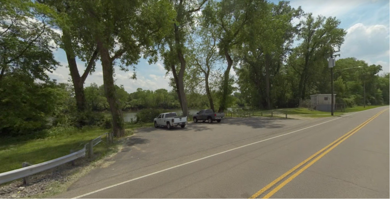
Access Point is closed seasonally from November 15 to March 15. Gravel/dirt parking and boat ramp are available at this access point. Amenities: Parking Lot
Parking lot for Great Miami River access at Combs Park. Amenities Parking Lot Picnic Area Boat Ramp
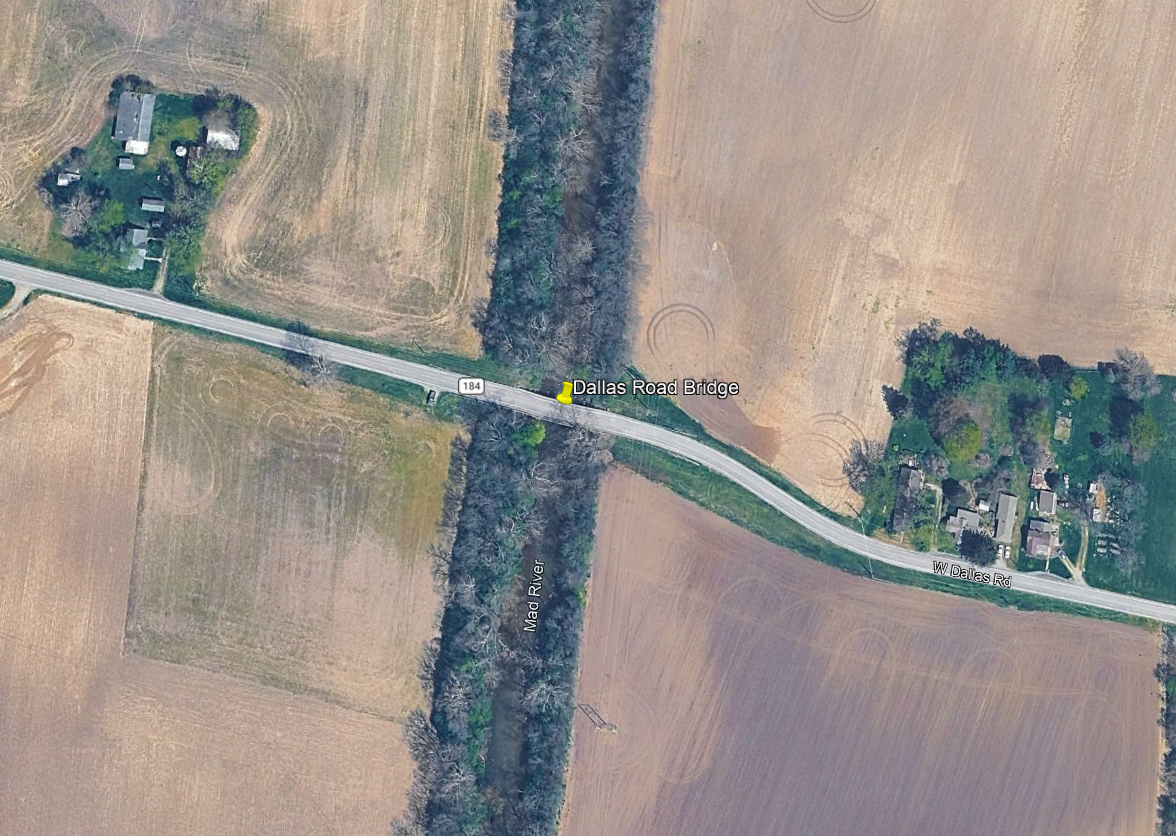
Amenities Roadside Parking
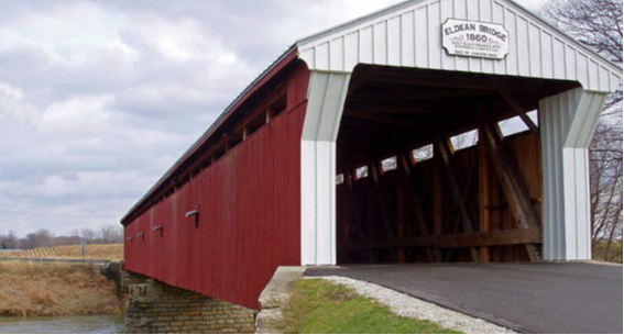
Amenities Parking Lot Picnic Area Recreation Trail Access About Covered Bridge Park in Troy, Ohio is home to Eldean, one of only two remaining covered bridges in the county and the longest "Longest Truss" covered bridge in the nation. Visitors can still cross through the protected barriers of this historic landmark on foot, bic ...
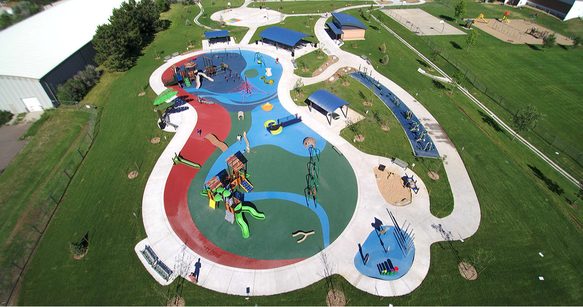
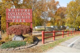
Amenities Parking lot Picnic Area Drinking water Restrooms About A 29-acre community park featuring the Margaret Harto Pavilion, grass athletic field, large playground and natural wooded area.
Amenities Parking Lot Restrooms Drinking Water Picnic Area Recreation Trail Access About Located at the very southern end of the township, this 34 acre park borders the Great Miami River. The Route 25/Great Miami Recreation Trail’s southernmost section runs through the park as it follows the banks of the river. Two thirds o ...
Amenities Parking Lot Recreation Trail Access
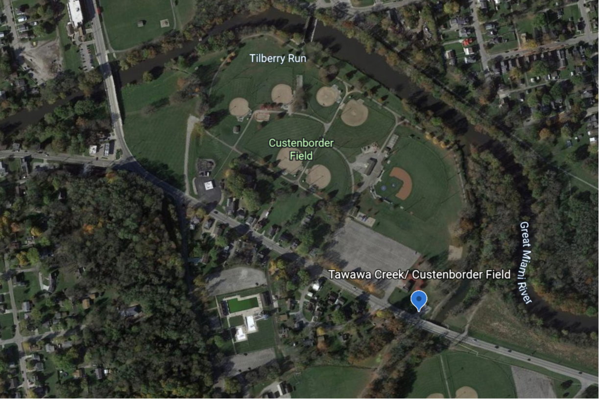
Amenities Parking Lot Restrooms Drinking Water Picnic Area Boat Ramp Recreation Trail Access
Run by City of Franklin Amenities Parking Lot Boat Ramp
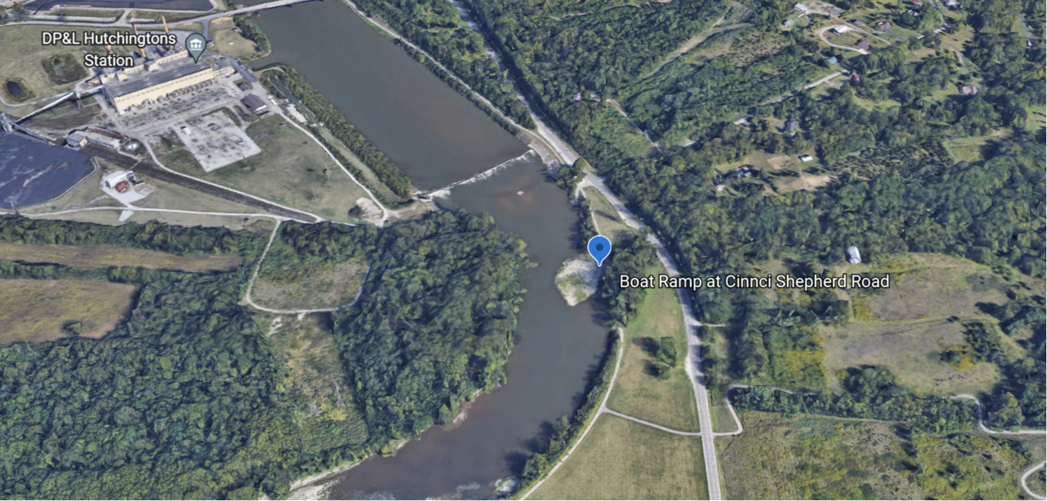
Amenities Parking Lot Boat Ramp Recreation Trail Access